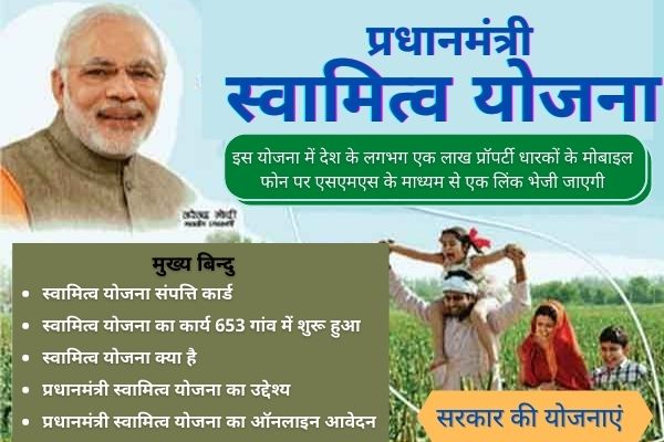
About PM Swamitva Yojana
SVAMITVA, a Central Sector Scheme of the Ministry of Panchayati Raj provides ‘Record of Rights’ to village household owners with the issuance of legal ownership cards (Property cards/Title deeds) to the property owners by mapping land parcels using drone technology.

Objective Of This Scheme
The scheme seeks to achieve the following objectives: –
- Creation of accurate land records for rural planning and reducing property-related disputes.
- To bring financial stability to the citizens in rural India by enabling them to use their property as a financial asset for taking loans and other financial benefits.
- To Determination of property tax, which would accrue to the GPs directly in States where it is devolved or else, add to the State exchequer.
- for the Creation of survey infrastructure and GIS maps that can be leveraged by any department for their use.
- To support in the preparation of a better-quality Gram Panchayat Development Plan (GPDP) by making use of GIS maps
Eligibility Criteria
Citizens having property in rural inhabited (Abadi) areas are eligible under this scheme.
Exclusions
Agricultural Lands are not covered under this scheme.
Benefits
Ownership/Swamitva Cards is provided to rural property owners villagers can avail bank finance using their property card as collateral as these cards serve as an official document.
Required Documents
The property owners in the village Abadi area has to present the required documents as demanded by revenue officials to prove identity and ownership.
How To Apply
Offline
Pre-Survey Activities
- Permission to conduct the survey.
- Organize Gram Sabha – to inform about the schedule of the survey and to sensitize about
- the surveying methodology and its benefits to the villagers.
- Identification and marking of Property –
- Government assets, gram Sabha land parcels, individual properties, roads, open plots, etc.
- Delineate property parcels – Ground team and owners demarcate the property by chunna lines
- Finalization of the boundary and survey area
- Public Notification – To notify the survey area
- Permission for flying Drones
Survey Activities
- Establishment of the CORS network
- Setting up Ground control points
- Acquisition/Capturing of drone images
- Processing of Drone data – Image processing & Feature Extraction
- Data verification and ground truthing
- Digital maps – Base maps generation and preparation of digital maps
Post Survey Activities
- Inquiry/Objection process – Survey officials verify ownership of the land parcels, with the help of gram Sabha, land owners, and review of existing documents

